Multi-Resolution Population Mapping Based on a Stepwise Downscaling Approach Using Multisource Data
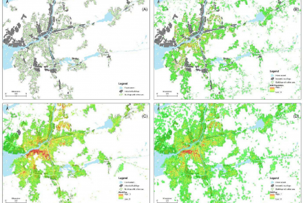
Abstract: The distribution of the population is an essential aspect of addressing social, economic, and environmental problems. Gridded population data can provide more detailed information than census data, and multisource data from remote sensing and geographic information systems have been widely used for population estimation studies. However, due to spatial heterogeneity, the population has different distribution characteristics and variation patterns at different scales, while the relationships between multiple variables also vary with scale. This article presents a stepwise downscaling approach in that the random forest regression kriging technique is used to downscale census data to multi-resolution gridded population datasets. Using Nanjing, China, as the experimental case, population distribution maps were generated at 100 m, 500 m, and 1 km spatial resolution, and compared with the other three downscaling methods and three population products. The results demonstrated the produced gridded population maps by the proposed approach have higher accuracy and more accurate details of population distribution with the smallest mean absolute error (MAE) and root mean squared error (RMSE) values of 1.590 and 2.189 ten thousand people (over 40% reduction). The artificial land and road data are the two most important indicators of population distribution for the regional random forest modeling in Nanjing. Our proposed method can be a valuable tool for population mapping and has the potential to monitor sustainable development goals.


