New & Improved GHSL Global Geospatial Data
A major new release of Global Human Settlement Layer (GHSL) data suite was just launched at World Urban Forum-WUF11 and is now freely available online.
It comprises 10 products, 200+ data sets, and 50k files – among several global innovations are:
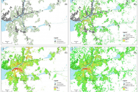
- RESIDENT vs. NON-RESIDENT discrimination of built-up areas (1975-2030)
- Estimation of built-up height (2018)
- Estimation of built-up volume (1975-2030)
- Settlement Characteristics/Morphological Settlement Zone (2018)
- Population grids spanning 1975-2030 at 100m (5-year interval)
All info here, including the GHSL Data Package 2022 Report:
https://ghsl.jrc.ec.europa.eu/p2022Release.php
Data visualisation:
https://ghsl.jrc.ec.europa.eu/visLanding.php
Data download:
https://ghsl.jrc.ec.europa.eu/download.php?ds=bu
The Global Human Settlement Layer (GHSL) project produces global spatial information, evidence-based analytics, and knowledge describing the human presence on the planet.
The GHSL relies on the design and implementation of new spatial data mining technologies that allow automatic processing, data analytics and knowledge extraction from large amounts of heterogeneous data including global, fine-scale satellite image data streams, census data, and crowd sourced or volunteered geographic information sources.


